
Gambar:Socotra overview.PNG
Euweuh résolusi nu leuwih luhur.
Socotra_overview.PNG (550 × 484 piksel, ukuran koropak: 61 KB, tipeu MIME: image/png)
| Berkas ieu asalna ti Wikimedia Commons. Kaca ngeunaan katerangan berkas ieu di Commons aya disalin di handap. Commons téh hiji gudang berkas bébas nu eusina disumbang ku balaréa. |
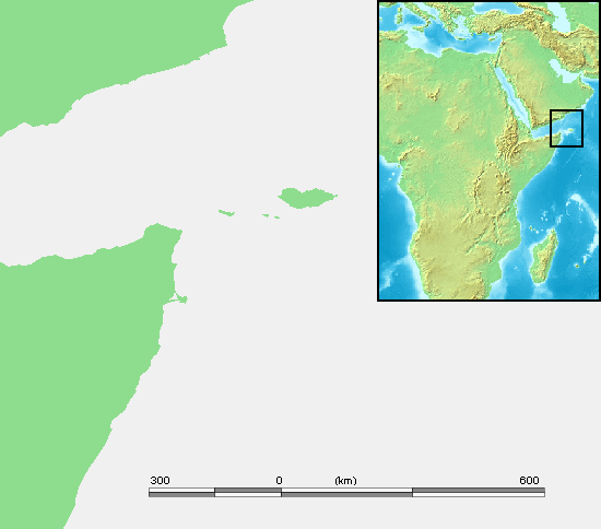
| Pedaran | Socotra | ||||
| Sumber | own work based on PD map | ||||
| Pangarang | edited by M.Minderhoud | ||||
| Widi (Migunakeun deui ieu berkas) |
|
Jujutan berkas
Klik dina titimangsa pikeun nempo koropak nu aya dina mangsa éta.
| Titimangsa | Miniatur | Ukuran | Pamaké | Kamandang | |
|---|---|---|---|---|---|
| kiwari | 3 Séptémber 2006 17.15 | | 550 × 484 (61 KB) | Michiel1972 | {{Information |Description= Socotra |Source= own work based on PD map |Date= |Author= edited by M.Minderhoud |Permission= {{PD-Demis}} |other_versions= }} category:Locator maps of islands |
Pamakéan berkas
Euweuh kaca anu maké ieu berkas.