
Gambar:Location map Bandung.png

Ukuran ieu pramidang: 693 × 599 pixel. Resolusi lianna: 278 × 240 pixel | 555 × 480 pixel | 888 × 768 pixel | 1.184 × 1.024 pixel | 2.146 × 1.856 pixel.
Berkas asli (2.146 × 1.856 piksel, ukuran koropak: 3,52 MB, tipeu MIME: image/png)
| Berkas ieu asalna ti Wikimedia Commons. Kaca ngeunaan katerangan berkas ieu di Commons aya disalin di handap. Commons téh hiji gudang berkas bébas nu eusina disumbang ku balaréa. |
Ringkesna
| Pedaran |
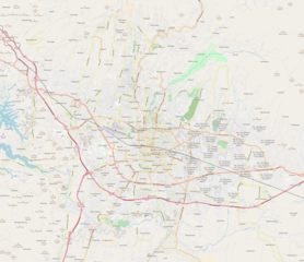
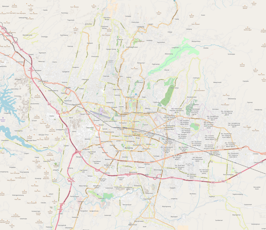
English: Map of Bandung, Indonesia
Limits: N: -6.7839 S: -7.0182 W: 107.4731 E: 107.7458 |
| Titimangsa | |
| Sumber | OpenStreetMap |
| Pangarang | OpenStreetMap contributors |
Lisénsi
| This work contains information from OpenStreetMap, which is made available under the Open Database License (ODbL).
The ODbL does not require any particular license for maps produced from ODbL data. Prior to 1 August 2020, map tiles produced by the OpenStreetMap Foundation were licensed under the CC-BY-SA-2.0 license. Maps produced by other people may be subject to other licences. |
Jujutan berkas
Klik dina titimangsa pikeun nempo koropak nu aya dina mangsa éta.
| Titimangsa | Miniatur | Ukuran | Pamaké | Kamandang | |
|---|---|---|---|---|---|
| kiwari | 14 Méi 2018 09.41 | | 2.146 × 1.856 (3,52 MB) | Juxlos | User created page with UploadWizard |
Pamakéan berkas
Euweuh kaca anu maké ieu berkas.